Weather maps 1.0
OpenWeatherMap provides many kinds of weather maps including Precipitation, Clouds, Pressure, Temperature, Wind. You can connect them to mobile and web apps.
We have launched Weather maps 2.0!
Now available Forecast, Historical and Current weather maps. 14 weather map layers with 1-hour step. You can get all of them using only one simple URL!
Learn moreURL format
The following endpoint is available for everyone. It requires only the API key authentication.
https://tile.openweathermap.org/map/{layer}/{z}/{x}/{y}.png?appid={API key}
| Parameters | ||
|---|---|---|
{layer} |
required | layer name |
{z} |
required | number of zoom level |
{x} |
required | number of x tile coordinate |
{y} |
required | number of y tile coordinate |
appid |
required | Your unique API key (you can always find it on your account page under the "API key" tab) |
Examples of weather map layers
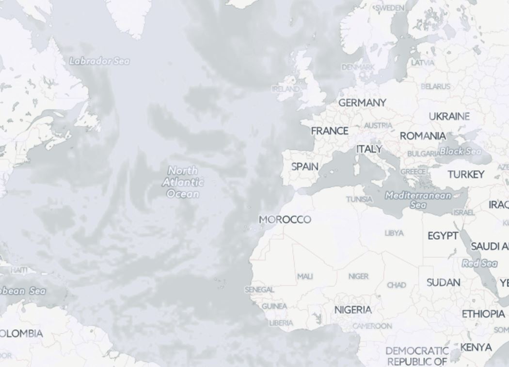
Precipitation
layer : precipitation_new
area : worldwide
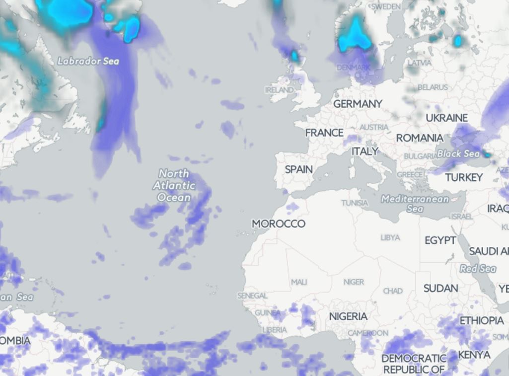
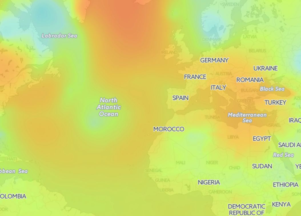
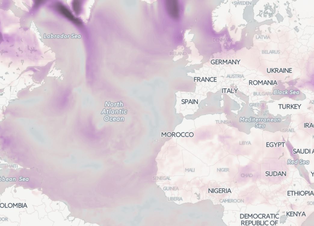
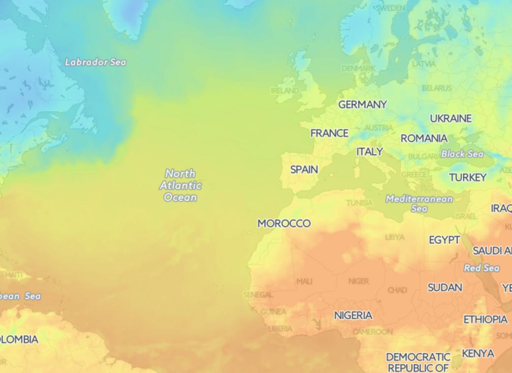
Map styles legend
Google Maps JavaScript API based on OpenWeatherMap API
Google has closed their Weather and Cloud solutions since 4th of June 2015 and recommended to use OpenWeatherMap with the Google Maps JavaScript API as an alternative solution.
'Displaying weather data with the Google Maps API and OpenWeatherMap' manual.
Libraries to connect weather layers
Open Layers
- Classes of weather layer and weather stations layer
- Possibility to set your own style
- Classes with clustered markers
- Support of marker server clustering
Leaflet
- Embedding of layer with current weather in cities
- Embedding of layer with weather stations
- The library supports customer clustering
Leaflet library
Another implementation of map based on Leaflet technology supports OWM's TileLayers and current city/station data. It is configurable with many options. For current city/station data the library supports refreshing the data in intervals, some types of client-side clustering (show only the station/city with the highest rank for a defined pixel square), custom image set (if you provide one), different languages ("en", "de", "ru", "fr", but translation is incomplete), minZoom and others.
Source and documentation (README.md) is available on GitHub https://github.com/buche/leaflet-openweathermap
Example of weather map: https://github.com/owm-inc/VANE-intro/tree/master/apps


